Nambiar District 25 Map
The Nambiar District 25 map is a graphical representation of the location and layout of Nambiar District 25 in Muthanallur Cross, Sarjapur Road, Bangalore.
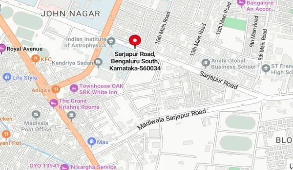
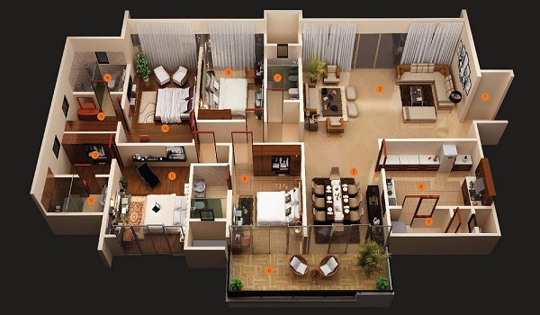
The Nambiar District 25 Map provides a clear view of the project’s location, layout, and design. It includes the location map, showing its exact place in Bangalore, and the floor maps that detail the apartment layouts. The master plan highlights the entire project's structure, including open spaces, amenities, and roadways. These maps help buyers understand the property better, from unit sizes to overall connectivity and planning. With this information, you can easily visualize your future home and surroundings.
Key features of the project:
- Project Type: Apartments
- Project Status: Prelaunch
- Site Area: 100 acres
- Types of units: 2, 2.5, 3, 3.5, & 4 BHK
- No. of Units: 800 units
- Size range: 1200 sq ft to 2500 sq ft
Location Map

Nambiar District 25 enjoys a strategic location in Kommasandra, Bengaluru (VPGP+RC), which offers excellent connectivity to key hubs in the city. The area is close to major IT parks, schools, hospitals, and shopping centers. Residents will benefit from easy access to Electronic City, Hosur Road, and other prominent parts of Bengaluru. Public transportation options, including buses and metro stations, are within a short distance, ensuring smooth commutes.
Floor Plan Map
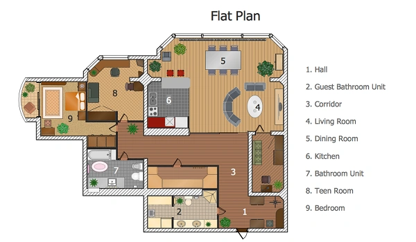
The project features well-designed floor plans to suit different family sizes and lifestyles.
- 2 BHK: 1200 sq ft to 1250 sq ft, ideal for small families, priced at ₹1.5 Cr onwards.
- 2.5 BHK: 1350 sq ft to 1450 sq ft, offering more space for growing families.
- 3 BHK: 1517 sq ft to 1915 sq ft, perfect for medium-sized families.
- 3.5 BHK: 2050 sq ft to 2157 sq ft, designed for families needing extra space.
- 4 BHK: 2500 sq ft, offering luxury and comfort for larger families.
Each unit layout emphasizes space efficiency, natural light, and ventilation, ensuring a comfortable living experience.
Master Plan Map
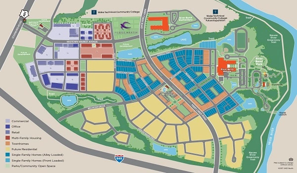
The master plan of Nambiar District 25 reflects thoughtful urban planning spread over 100 acres. The project comprises six towers with a structure of 3 basements, ground, and 32 floors. With a total of 800 units, the community offers a balance of privacy & social interaction.
The master plan includes ample green spaces, jogging tracks, and play areas, fostering a serene and active lifestyle. Amenities such as gardens, clubhouse, a swimming pool, gym, and multipurpose halls are strategically located within the complex for easy access.
| Enquiry |
