Sarjapur Road Traffic Guide: Best Routes, Peak Hours & Shortcuts (2025 Update)
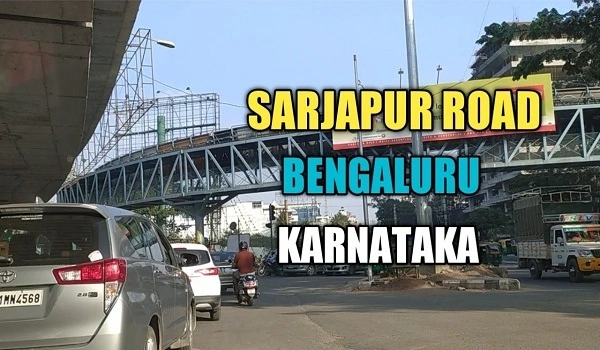
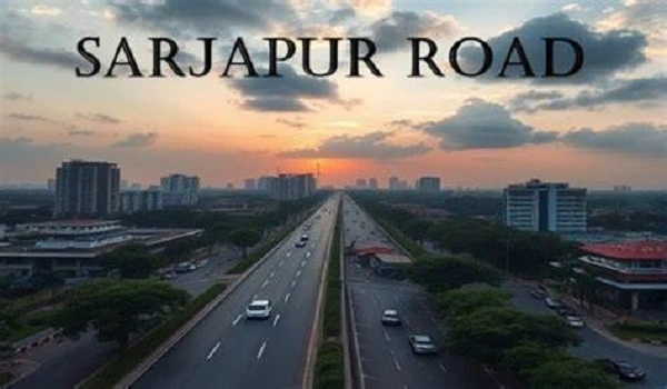
Sarjapur Road traffic is one of the biggest problems for people living in South-East Bangalore. During rush hours, it can take over 90 minutes to travel just 15–18 km, especially near Iblur Junction and Wipro Signal. More than 1.5 lakh people use this road daily, including office workers, school buses, and cab users. Knowing the best routes and peak time delays helps save time and stress.
This guide gives you clear tips on how to avoid traffic, use smart shortcuts, and understand new road updates like the Metro Line and PRR. These ideas come from local drivers, daily commuters, and area maps used in 2025.
Sarjapur Road connects many homes, offices, and schools in places like Dommasandra, Carmelaram, and Harlur. Most people here use cars or bikes because there’s no metro yet. The road width is only 40 to 60 feet in many parts, which is too narrow for the daily traffic load of over 1.5 lakh vehicles. This is why even short drives take a long time during peak hours.
- Morning rush: 8:00 AM to 11:00 AM
- Evening rush: 5:00 PM to 9:00 PM
- Heavy traffic zones:
- Wipro Signal – 20–30 minutes delay
- Iblur Junction – worst during Metro work (30–45 minutes)
- Dommasandra Circle – slow during school hours
- Carmelaram Railway Gate – 10+ minutes during crossings
- Harlur Junction – gets stuck often due to small turns
- To Electronic City:
- Via Hosa Road: Around 30–40 minutes if not peak time
- Via Haralur → Kudlu Road: Slower, but avoids Wipro jams
- To Marathahalli, Bellandur, ORR:
- Use Gunjur–Panathur Road: Saves time if Iblur is blocked
- Via Kasavanahalli Road: Good during daytime, but narrow lanes
- To Whitefield or Varthur:
- Dommasandra → Varthur Main Road: Safe for school hours
- Carmelaram–Gunjur 100 Ft Road: Use in daylight only — lighting is poor
- To Silk Board or BTM:
- Via Hosur Rd–Koramangala: Less messy than Outer Ring Road
- HSR–Koramangala route: Better during rainy days to skip waterlogging
- Carmelaram–Gunjur Road: New road, 100 feet wide, but avoid at night
- GEAR School Backroad: Helps avoid traffic near Wipro Signal
- Harlur Cut Road: Good way to reach Bellandur faster
- Kasavanahalli Local Road: Connects you to ORR through inside lanes
Most people now use Google Maps or Mapples to track live traffic. These apps show real-time jams and help find better routes. Many resident groups also share alerts on WhatsApp to help each other avoid blocks.
- Peripheral Ring Road (PRR): A 116-km road that connects Tumakuru to Hosur. Once done by 2028, it will reduce traffic near Kodathi and Varthur by 20–25%.
- Satellite Town Ring Road (STRR): A 288-km road around Bengaluru. It will take away trucks from Sarjapur Road. Work near Dommasandra is ongoing. Full launch: 2027.
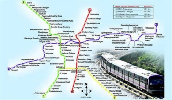
- Metro Phase 3A – Sarjapur to Hebbal: 28 stations, including Iblur and Carmelaram. Work starts in 2025, full route by 2030. Will cut commute time by up to 50% once ready.
- Road Widening by BBMP: 7 km of Sarjapur Road is being widened in two steps. Goal: Reduce jams between Iblur and Dommasandra by 2026.
- Check Google Maps before leaving
- Skip Wipro and Iblur between 5:30 PM and 8 PM
- School traffic hours: 7:30–8:30 AM and 3:00–4:00 PM (avoid Dommasandra)
- Rain alert: Underpasses at Iblur and Bellandur get flooded
- On weekends, avoid shopping zones like Decathlon and Total Mall in the evening
1. What are the worst traffic spots on Sarjapur Road?
Wipro Signal, Iblur Junction, Kaikondrahalli Lake stretch, and Dommasandra Circle are the worst during peak time.
2. When is the best time to travel on Sarjapur Road?>Try to leave before 7:30 AM or after 9:30 PM. Late mornings (11 AM–1 PM) are also good for errands.
3. Are there working shortcuts to avoid traffic?Yes, try Carmelaram–Gunjur Road, GEAR School lane, or Harlur Road. Always check Google Maps before using them.
4. Will Metro help reduce Sarjapur Road traffic?Yes. After 2030, Metro Line from Sarjapur to Hebbal will cut peak hour traffic by nearly half.
5. Is Sarjapur Road still a good place to live?Yes. Property prices are rising 7–10% yearly in 2025 due to new metro, PRR, and STRR projects, even though traffic is bad.
Nambiar Group pre launvh new project Nambiar District 25
| Enquiry |
